
Andrew Haynes Plat of Elizabethtown, KY, July 4, 1797
Elizabethtown, KY 1847
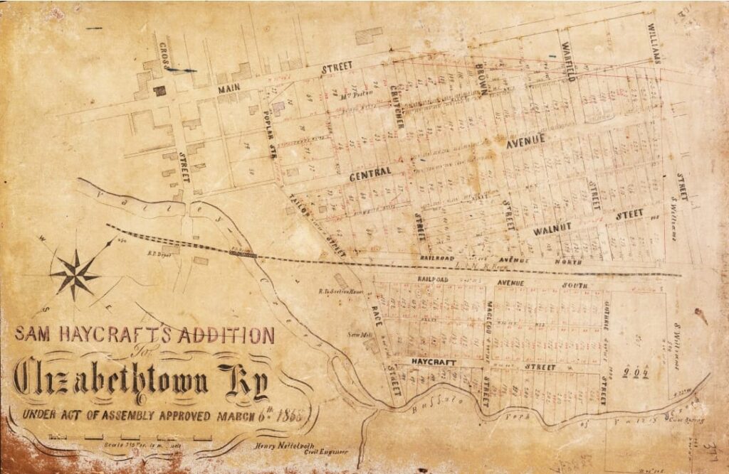
Elizabethtown, KY March 6, 1868
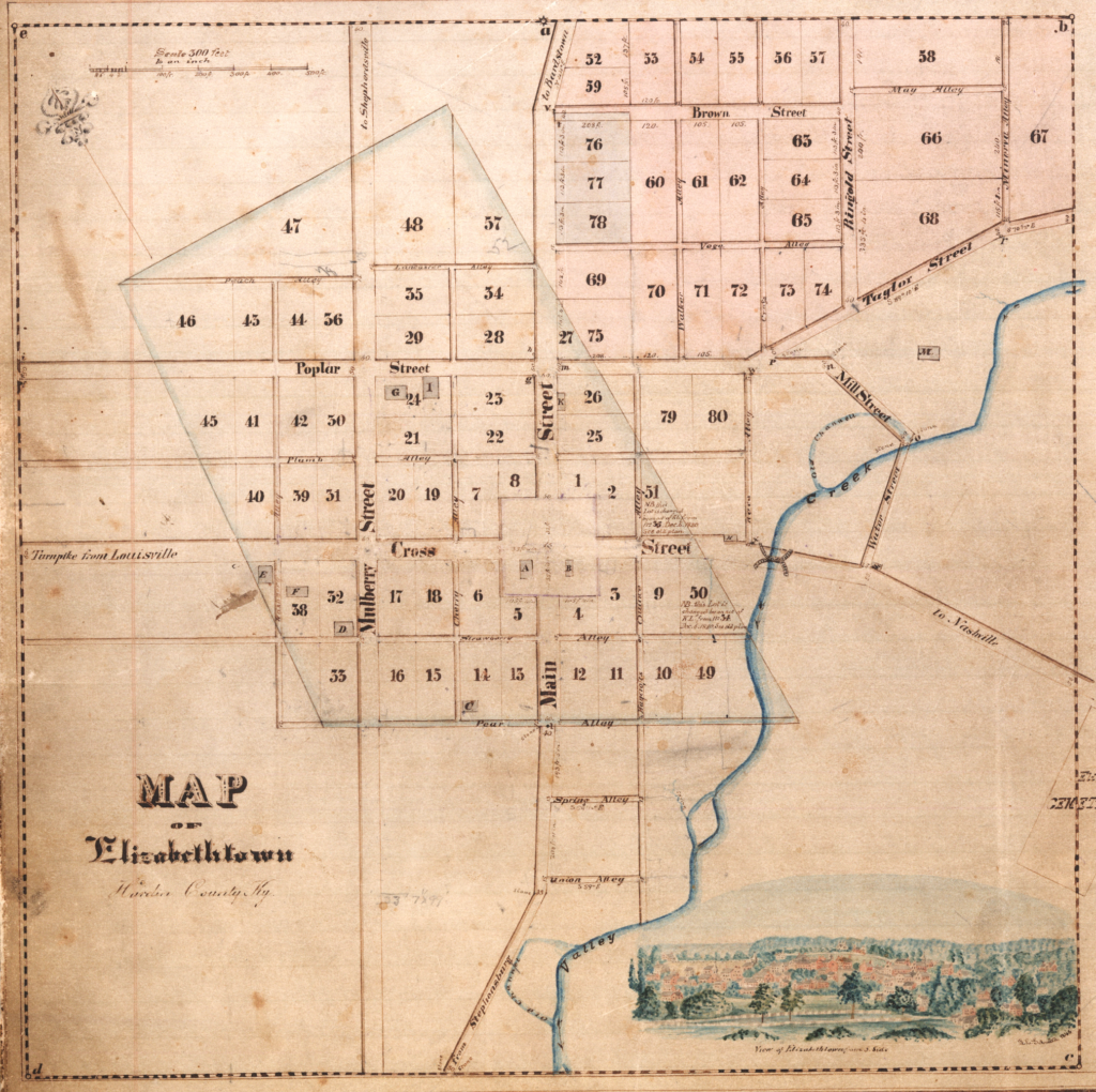
Elizabethtown, KY 1871
Pictured is an Elizabethtown map dated about 1871, before the arrival of General George Custer. General Custer resided at the Hills Hotel at the corner of North Main and Poplar Street. The Hills Hotel (today the Brown-Pusey House) and the school building on Poplar Street are the only surviving buildings from this map. Notice that the courthouse was moved to the center of the map. Cross Street was the main thoroughfare. Today, Cross Street is 31 West, or Dixie Hwy, also called the Louisville and Nashville Turnpike. The Louisville and Nashville Railroad is located on the other side of the bridge and Valley Creek. In 1869, 1870s, and 1880s, devastating fires destroyed most of the buildings on the public square and some of the surrounding area.
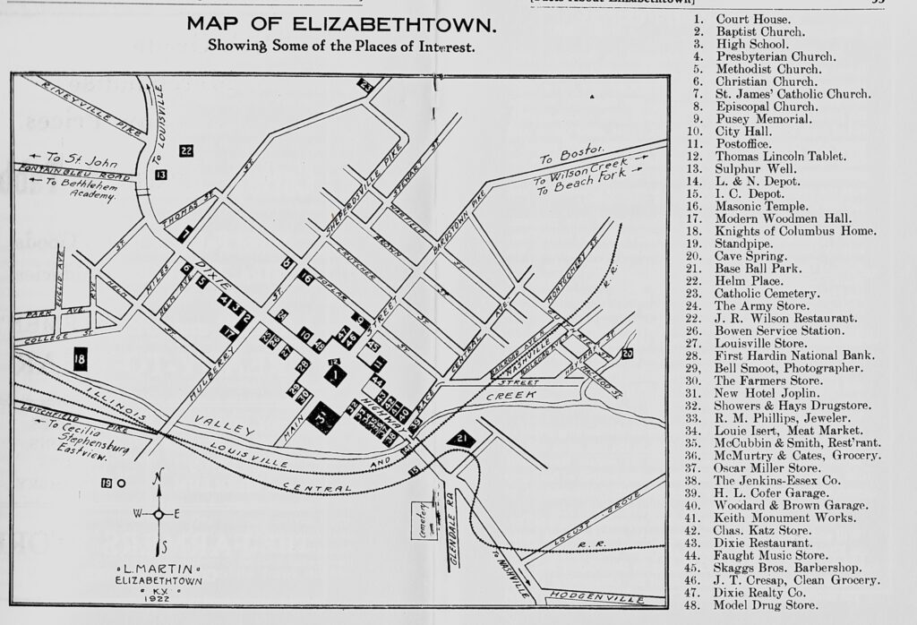
Elizabethtown, KY 1922
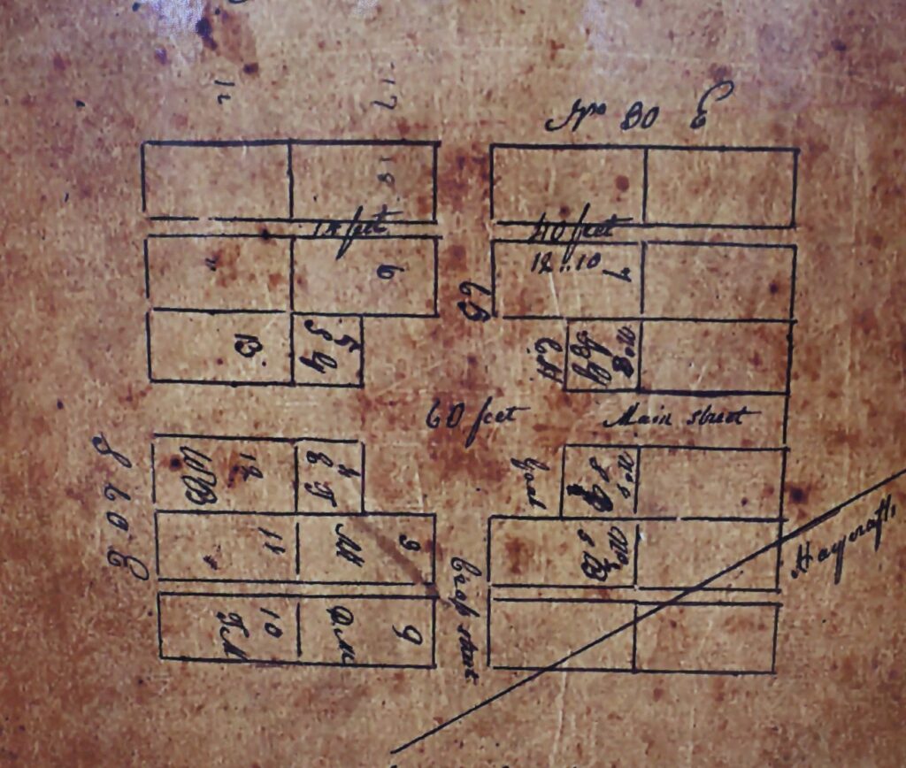
Elizabethtown, KY 1816
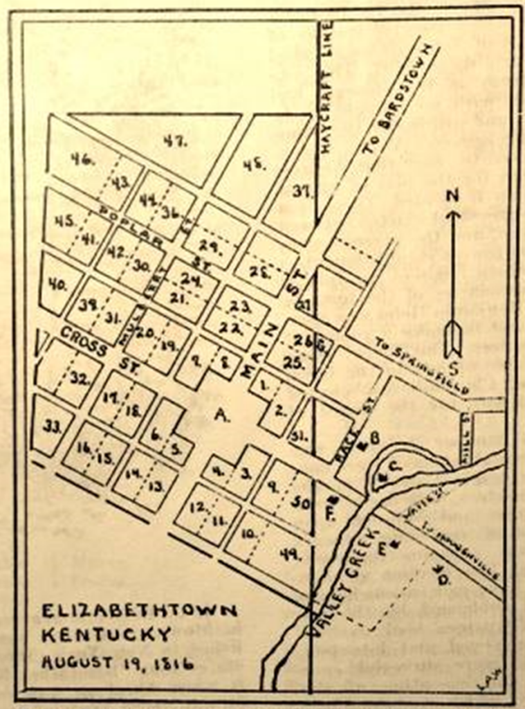
Map of Elizabethtown, Ky, August 19, 1816, drawn by Dr. Louis A. Warren, former
director of Lincoln National Life Foundation. All the lots to the west of the
Haycraft Line were originally the property of Andrew Hynes, while all the
property east of the Haycraft Line was originally the property of Samuel
Haycraft, Sr. Lot 10 and 49 is the site of the old Haycraft Mill and log cabin,
owned by Thomas Lincoln, father of Abaham Lincoln.
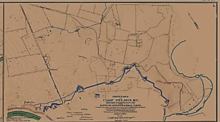
Civil War Camp Nelson, KY 1865
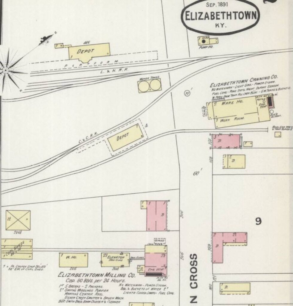
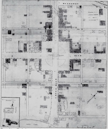
Elizabethtown, KY 1891